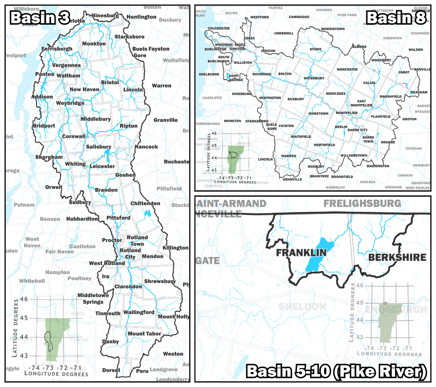
The Vermont Dept. of Environmental Conservation (DEC) invites the public to comment on draft updates to the state wetland maps in 107 towns. The map update covers over 20% of Vermont and shows the approximate location and shape of wetlands. It includes major parts of Washington, Chittenden, Addison, and Rutland counties and a lesser part of Lamoille, Orange, Caledonia and Bennington counties and the towns of Berkshire and Franklin.
Using new technology and high-quality aerial images, DEC will continue to update maps for the entire state to better identify wetlands and thus protect, restore, and reduce impacts to them. The updates are required by the Flood Safety Act, Act 121, passed in 2024.
“Wetlands, such as marshes and swamps, are protected areas because of their vital functions and values. From floodwater storage to wildlife habitat, wetlands offer many benefits to society and the natural world,” said DEC Commissioner Jason Batchelder. “Robust wetland maps are key because they help guide development and protect the quality of life that attracts many to Vermont.”
Wetland maps can help property owners, towns, and developers by:
Streamlining the wetland regulatory process
Aiding in flood control planning
Informing real estate decisions
Supporting land use planning
Facilitating water quality restoration planning
Guiding wetland restoration and mitigation efforts
Wetlands are transitional areas where land and water meet and require professional wetland scientists to find their exact boundary. Floodplain wetlands are important for climate resilience by storing flood water and carbon while also providing critical wildlife habitat.
“Wetland maps are important planning tools, but much of the state was last mapped over 30 years ago and missed a significant amount of wetland area,” said Laura Lapierre, wetlands program manager. “The maps do not replace the need for boundary delineations when a project is proposed near a wetland.”
View the changes to the Vermont Significant Wetlands Inventory Map on the online interactive map.
To learn more, check out the Environmental Notice Bulletin materials or attend one of the following public meetings:
Brandon: June 5 at 5 p.m.
In-person: 49 Center St., Brandon
Virtual access: Register in advance for this meeting.
Montpelier: June 10 at 5 p.m.
In-person: Dewey Building, 1 National Life Drive, Montpelier
Virtual access: Register in advance for this meeting.
The DEC is responsible for protecting Vermont’s natural resources and safeguarding human health for the benefit of this and future generations.
For more information visit: dec.vermont.gov.